Golets Sokhondo
Mountain in Russia

Golets Sokhondo
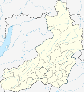
Zabaykalsky Krai,
Russian Far East
Russian Far East
Russian Far East
Khentei-Daur Highlands
Golets Sokhondo (Russian: Голец Сохондо) is a mountain in the Khentei Range, Khentei-Daur Highlands. Administratively it is part of Zabaykalsky Krai, Russian Federation.[3]
The Sokhondo Nature Reserve, a protected area surrounding the mountain, was named after this emblematic summit when it was established on 11 December 1973.[4][5]
Geography
This 2,504 m (8,215 ft) high mountain is one of the highest points of the Khentei-Daur Highlands, part of the South Siberian System of ranges. It is located in the southwestern part of the highland area, not far north from the border with Mongolia.[6]
Golets Sokhondo is a ‘’golets’’-type of mountain with a bald peak belonging to a massif which includes a smaller summit, the 2,404 m (7,887 ft) high Little Sokhondo.[7]
See also
References
- ^ a b PeakVisor Gora Sokhondo
- ^ Сохондинский государственный природный биосферный заповедник
- ^ "Хэнтэй, хребет" [Khentei Range] (in Russian). Энциклопедия Забайкалья. Retrieved 2 November 2021.
- ^ Сохондинский биосферный заповедник на сайте «ООПТ России»
- ^ Russian Geographical Society - Expedition to Mt Sokhondo (in Russian)
- ^ Google Earth
- ^ Сайт Сохондинского государственного природного биосферного заповедника
External links
- История - Сохондинский государственный природный
- Голец Сохондо - LiveJournal
- ГОЛЕЦ СОХОНДО (Photographic exhibition)
- v
- t
- e


