Manggar, Balikpapan
Subdistrict in East Kalimantan, Indonesia
Manggar Kelurahan Manggar | |
|---|---|
Subdistrict | |
 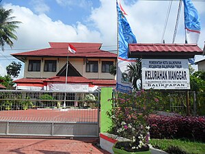 (From the top: Hajj Boarding House Balikpapan bottom: Office government Manggar subdistrict) | |
 Location of Manggar subdistrict from East Balikpapan | |
 Interactive map of Manggar subdistrict | |
| Coordinates: 1°11′46″S 116°57′48″E / 1.196221°S 116.963196°E / -1.196221; 116.963196 | |
| Country |  Indonesia Indonesia |
| Province | East Kalimantan |
| City | Balikpapan |
| District | East Balikpapan |
| Government | |
| • Subdistrict mayor | Dedi Prasetia Utama Idris |
| Area [1] | |
| • Total | 35.255 km2 (13.612 sq mi) |
| Time zone | GMT +8 |
| Website | Official website (in Indonesia) |
Manggar is a subdistrict in the East Balikpapan, Balikpapan.[2]
Tourisms
- Alpha Hill (Bukit Alpha)
- Batakan Beach (Pantai Batakan)
References
External links
- Manggar subdistrict official website (in Indonesia)
- v
- t
- e
Balikpapan, East Kalimantan
(Subdistricts)
- East Balikpapan
- Manggar
- Lamaru
- Teritip
- Manggar Baru
- West Balikpapan

 | This East Kalimantan location article is a stub. You can help Wikipedia by expanding it. |
- v
- t
- e


