Ocourt

Former municipality in Jura, Switzerland
Coat of arms of Ocourt
Coat of arms
Location of Ocourt
Map
47°21′N 07°05′E / 47.350°N 7.083°E / 47.350; 7.083CountrySwitzerlandCantonJuraDistrictPorrentruyArea
 • Total1,163 km2 (449 sq mi)Elevation
424 m (1,391 ft)Population
 (2003)
 • Total137 • Density0.12/km2 (0.31/sq mi)Time zoneUTC+01:00 (Central European Time) • Summer (DST)UTC+02:00 (Central European Summer Time)Postal code(s)
2889
SFOS number6798ISO 3166 codeCH-JUSurrounded byEpiquerez, Seleute, Saint-Ursanne, Montmelon, Courgenay, Fontenais, Bressaucourt, Montancy(F), Brémoncourt(F)Website
SFSO statistics

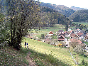
Ocourt is a village and former municipality in the district of Porrentruy of the canton of Jura in Switzerland. Since January 1, 2009 it is a part of the new municipality Clos du Doubs.

References

Ocourt
Ocourt
Wikimedia Commons has media related to Ocourt.
Authority control databases Edit this at Wikidata
International
  • VIAF
National
  • Germany
Other
  • Historical Dictionary of Switzerland


  • v
  • t
  • e