Pita Prefecture
Prefecture in Mamou Region, Guinea
Pita Prefecture | |
|---|---|
Prefecture | |
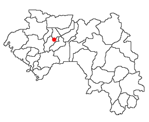 Location of Pita Prefecture and seat in Guinea. | |
| Country |  Guinea Guinea |
| Region | Mamou Region |
| Capital | Pita |
| Area | |
| • Total | 1,670 sq mi (4,320 km2) |
| Population | |
| • Total | 266,000 |
| Time zone | UTC+0 (Guinea Standard Time) |
Pita (Pular: 𞤍𞤢𞤤𞤭𞥅𞤪𞤫 𞤆𞤭𞤼𞤢) is a prefecture located in the Mamou Region of Guinea.[1] The capital is Pita. The prefecture covers an area of 4,320 km.² and has an estimated population of 266,000.[citation needed]
Sub-prefectures
The prefecture is divided administratively into 12 sub-prefectures:
- Pita-Centre
- Bantignel
- Bourouwal-Tappé
- Dongol-Touma
- Gongore
- Ley-Miro
- Maci
- Ninguélandé
- Sangaréah
- Sintali
- Timbi-Madina
- Timbi-Touny
- Djindjin
- Keriwel
References
- ^ "Pita Prefecture satellite map, HD satellite images".
- v
- t
- e

11°03′32″N 12°23′58″W / 11.0588°N 12.3995°W / 11.0588; -12.3995
 | This Guinea location article is a stub. You can help Wikipedia by expanding it. |
- v
- t
- e


